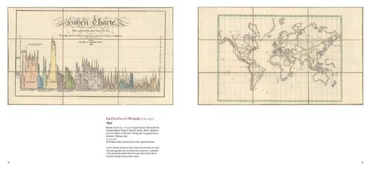
现货 地理奇观地图集:从山顶到河床 19世纪历史地图与制图 英文原版 An Atlas of Geographical Wonders 探险家手绘地图 精装
| 运费: | ¥ 6.00-25.00 |
| 库存: | 2 件 |
商品详情


书名:An Atlas of Geographical Wonders: From Mountains to Riverbeds
作者:Gilles Palsky, Jean-Marc Besse , Philippe Grand, Jean-Chrishe Bailly
页数: : 208页
出版社: Princeton Architectural Press
出版日期:2019年9月24日
语种:英语
ISBN: 9781616898236
尺寸 :27.9 x 30.5 x 2.28cm
出版信息更新频繁 以上资料仅供参考
内容介绍:
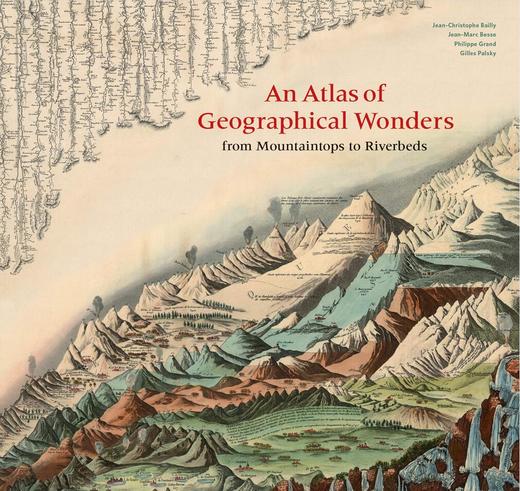
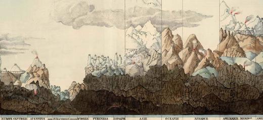
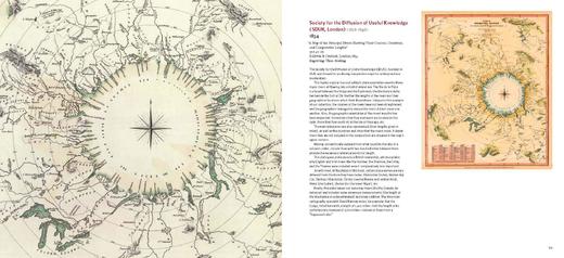
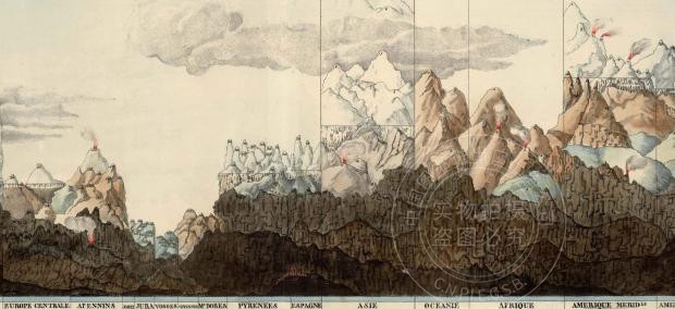
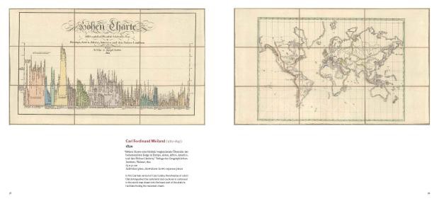
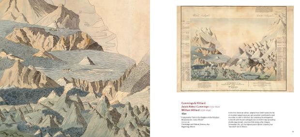
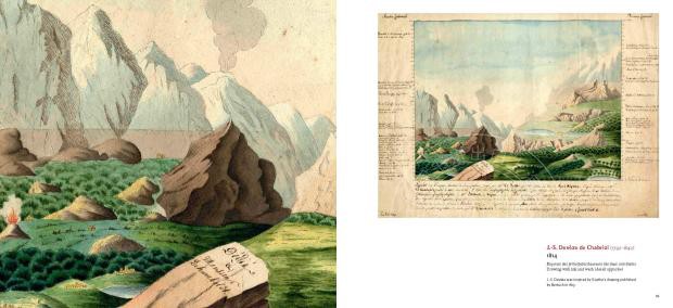
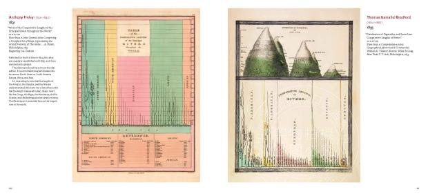
This is the first book to catalog comparative maps and tableaux that visualize the heights and lengths of the world's mountains and rivers.
Produced predominantly in the nineteenth century, these beautifully rendered maps emerged out of the tide of exploration and scientific
developments in measuring techniques. Beginning with the work of explorer Alexander von Humboldt, these historic drawings reveal a world
of artistic and imaginative difference. Many of them give way—and with visible joy—to the power of fantasy in a mesmerizing array of realistic
and imaginary forms. Most of the maps are from the David Rumsey Historical Map Collection at Stanford University.
这是首本分类比较地图和景观的书籍,该地图可视化了世界山脉和河流的高度和长度。 这些精美绘制的地图主要产生于19世纪,是随着测量技术的探索和
科学发展而出现的。 从探险家亚历山大·冯·洪堡的作品开始,这些历史绘画揭示了艺术和想象力上的差异。 他们中的许多人都屈服于在一系列令人着迷的现实
中幻想的力量——可见的快乐和想象的形式。大多数地图来自斯坦福大学的戴维·拉姆西历史地图集。
编辑评论:
"Part history, part geography, AN ATLAS OF GEOGRAPHICAL WONDERS: From Mountainto.ps to Riverbeds illuminates the world of famous
19th-century expeditions. The authors - Jean-Christo.phe Bailly, Jean-Marc Besse, Philippe Grand and Gilles Palsky - have amassed drawings,
maps, graphs and tableaus that trace the adventures of various explorers and show how the science of measuring altitude developed."
- The New York Times
“一部分历史,一部分地理,一个地理奇观图集:从山顶到河床,照亮了19世纪探险队的世界。作者——让-克里斯托夫·贝利、让-马克·贝斯、菲利普·格兰德和吉尔斯·帕尔斯基——收集了各种绘图、
地图、图表和表格,追踪了各种探险者的冒险经历,展示了测量高度的科学是如何发展的。”
-纽约时报
"A most welcome contribution that will appeal to those interested in the history of geography, cartography, and geographic knowledge during the nineteenth century, as well as
those interested in perusing some creative attempts to visualize the geographical wonders of our world."
- Journal of Historical Geography
这是一个非常受欢迎的贡献,它将吸引那些对19世纪的地理历史、制图学和地理知识感兴趣的人,以及那些对仔细研究我们世界的地理奇观感兴趣的人。
"The 156 eye-catching tableaux reproduced in this atlas are fascinating variations on a single theme, blending scientific accuracy and graphic inventiveness in fantasy landscapes
that convey overarching geographic truths."
- Natural History
“这幅地图集中重现的156幅引人注目的画面,是对单一主题的奇妙改变,融合了科学的准确性和图形的创造性,传达了包罗万象的地理真理。”
——自然历史
"An Atlas of Geographical Wonders is a feast for the eyes, using its layout to good effect to show off the wonderfully reproduced images."
- The Inquisitive Biologist (UK)
《地理奇观地图集》是一场赏心悦目的盛宴,它的布局效果很好,展现出了栩栩如生的再现画面。
——好奇生物学家(英国)
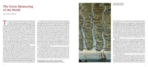
"As much a work of art as a history of cartography and exploration, this superb volume ...documents the 19th-century fervor for comparative maps and tableaux-illustrations
showing, for example, the highest mountains in the world juxtaposed against one another. A chapter introducing the cartographic phenomenon in general is followed by one
on the sketch that started it all, Alexander von Humboldt's 1805 Geographie des plantes equinoxiales. The beautifully reproduced illustrations, many of which are housed in
the David Rumsey Historical Map Collection at Stanford University, are fascinating by themselves but are accompanied by essays examining the images and their creation."
- Library Journal
与制图和探索的历史一样,这既是一件艺术品,又是一本精巧的书……记载了19世纪对比较地图和全景图的热爱,例如,世界上高的山脉相互并列。在介绍制图现象的一章之后,是开始这一切的草图,
即亚历山大·冯·洪堡于1805年出版的《植物地理学》。这些精美的复制插图,其中许多都藏在斯坦福大学的大卫·拉姆齐的历史地图收藏中。它们本身就很吸引人,但与之相伴随的是审视这些图像及其创作的文章。”
-图书馆杂志
作者介绍:
Jean-Christo.phe Bailly teaches the history of landscape formation at the cole d'ingénieurs paysagistes (School of Landscape Architecture), Blois, France.
Jean-Christo.phe Bailly在法国布洛伊斯的风景园林学院(Ecole d 'ingenieurs paysagistes)教授景观形成史。
Gilles Palsky is a professor of geography at the University of Paris. He has published a history of statistical cartography of the nineteenth century.
Gilles Palsky是巴黎大学的地理学教授。他出版了《19世纪统计制图史》。
Jean-Marc Besse is director of research at the Centre national de la recherche scientifique (UMR Géographie-cités).
Jean-Marc Besse是美国科学研究中心(UMR地理- cites)的研究主任。
Philippe Grand is the author of nine books of poetry and publisher of Fage editions of Lyon, France.
菲利普·格兰德是九本诗集的作者,也是法国里昂出版社的出版人。





- 现代书店 (微信公众号认证)
- 中图上海旗下的一家进口图书专营书店。
- 扫描二维码,访问我们的微信店铺
- 随时随地的购物、客服咨询、查询订单和物流...
